Jeff Rich
Watershed
2007–2014
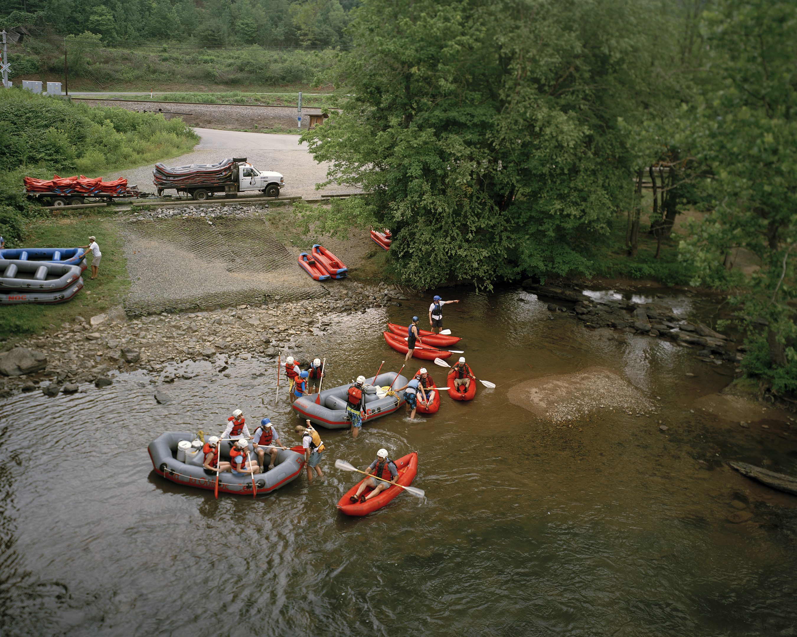
THE FRENCH BROAD RIVER
A common misconception of a watershed is that it’s all about the water. While water does play a large part, the land plays an even larger role by directing the water to a common point, such as a river or ocean. Thus, human impact on the land directly affects the water that runs over it. In Watershed, I intended to highlight this relationship between land, water, and man within the Mississippi River watershed, the largest watershed in North America. Every watershed is made up of smaller watersheds or basins, and the Southern portion of the Mississippi Watershed is made up of three major river basins, The French Broad River, The Tennessee River and The Mississippi River. Each of these basins forms a chapter of the Watershed project.
In the 1950s The French Broad River was one of the most polluted in the country. A local writer Wilma Dykeman described the condition of the river as having “white scum that caps the water’s blackness for mile after mile.” The river was beset with pollution from erosion, which was caused by deforestation, pollution from heavy industry, and the rapid development of the cities within the watershed.
The French Broad Watershed has experienced an extraordinary rebirth over the past 40 years.The passage of the Clean Water act in 1972 put heavy limits on the pollution that industry is allowed to discharge into the waters of the United States. As a result, the French Broad became a much healthier watershed that now supports a thriving local ecology and provides a recreational resource for the local community. Due to weak enforcement of the Clean Water Act’s mandates and consistent non-point source pollution, the French Broad River is now becoming less healthy for the first time since the passage of the Clean Water Act, which threatens the reversal of such enormous progress.
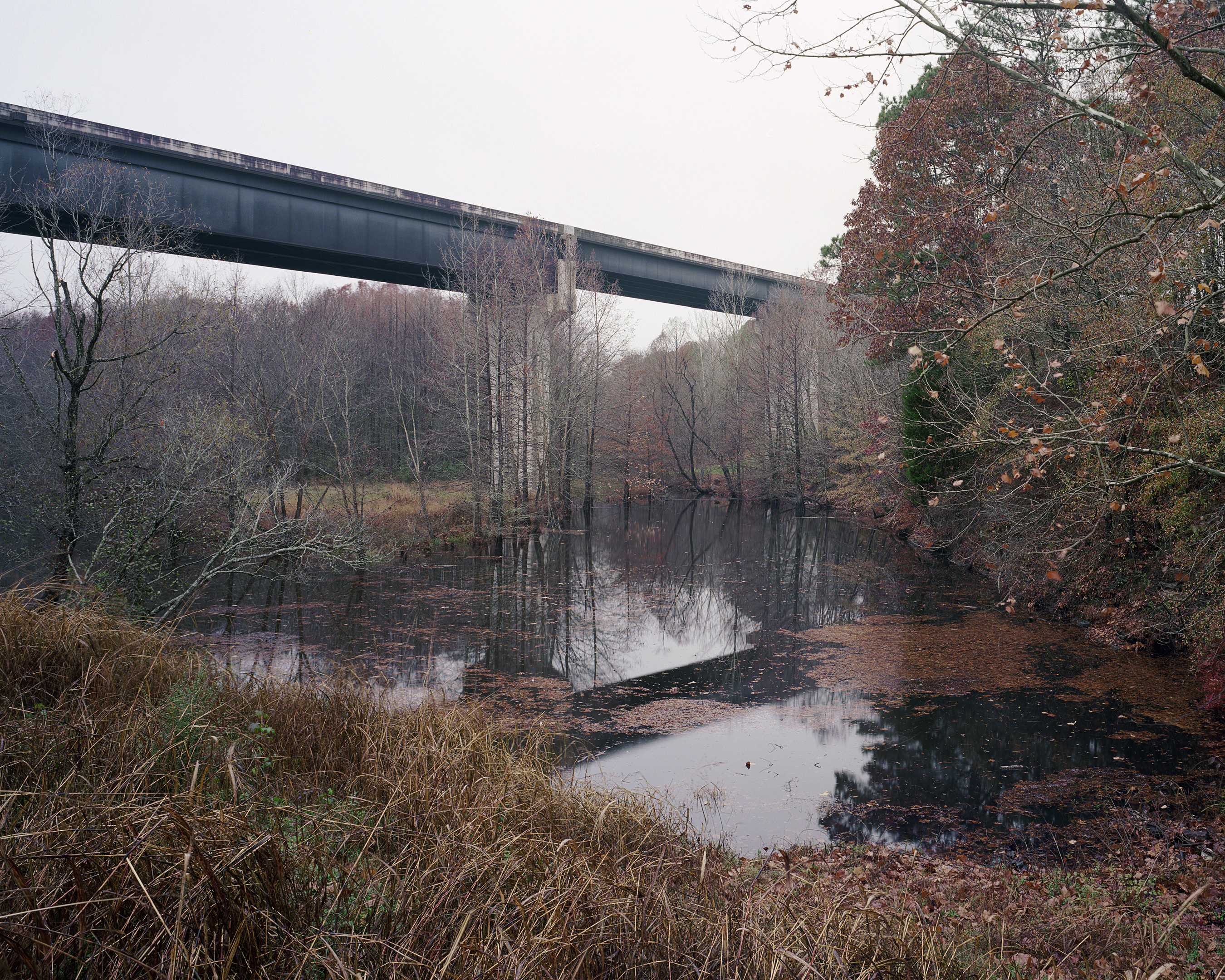
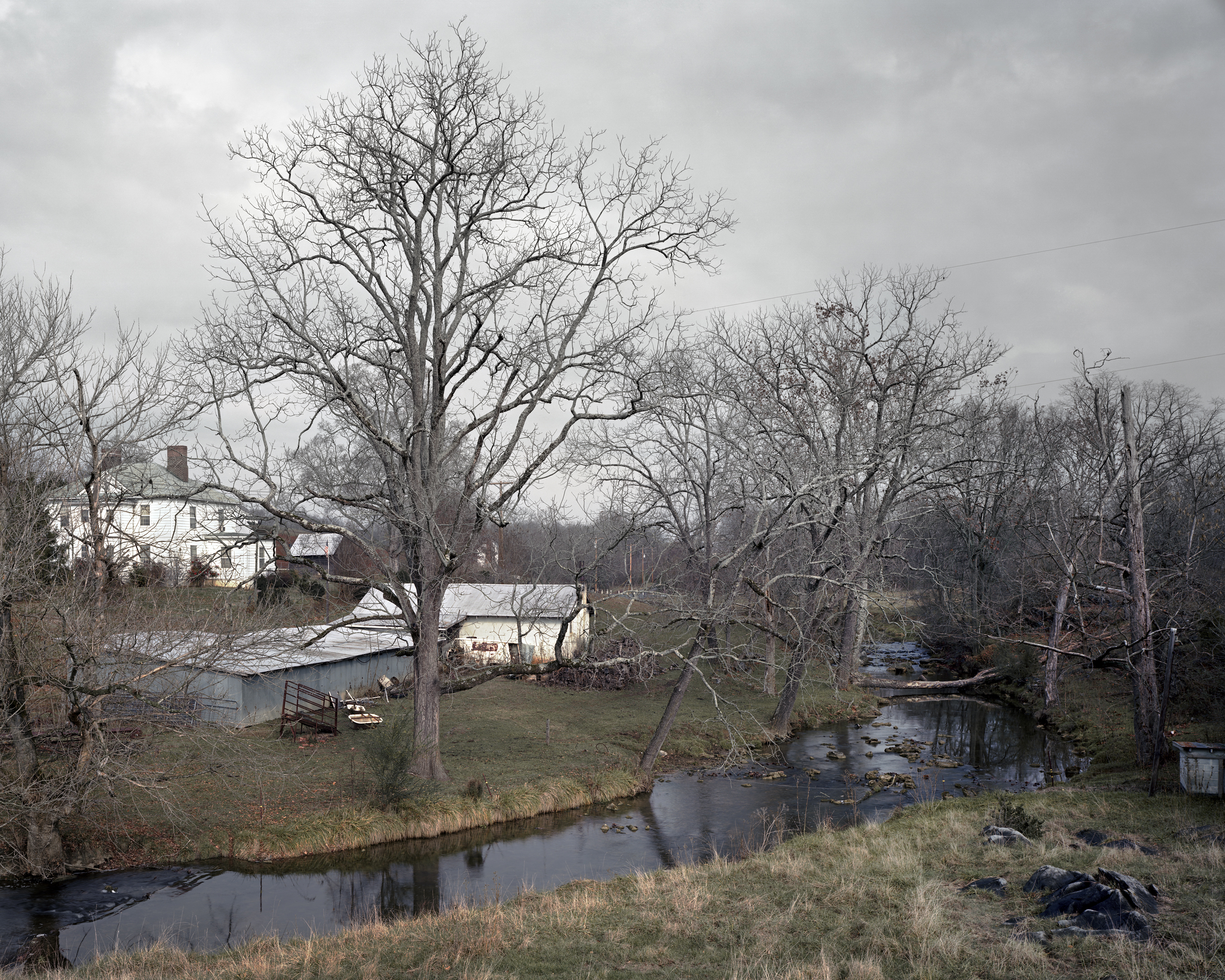
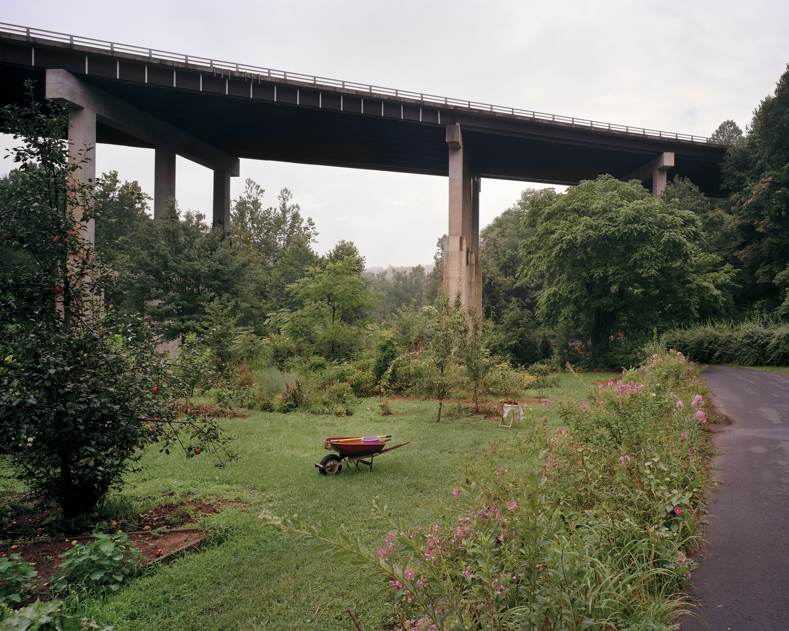
This work shows the constant change that occurs within the watershed of The French Broad River due to man’s presence, as well as natural causes such as floods and erosion. Beginning at the headwaters of the French Broad and following the river through Western North Carolina into Tennessee, where it joins with the Holston River to form the Tennessee River, this project documents the development and use of the watershed. By documenting the river itself, the landscape of industry and homes, and the citizens who use the river and work to protect it, this project creates a portrait of the many varied aspects that make up a watershed and ultimately emphasizes the importance of sustainability movement that is growing in the local community and beyond.
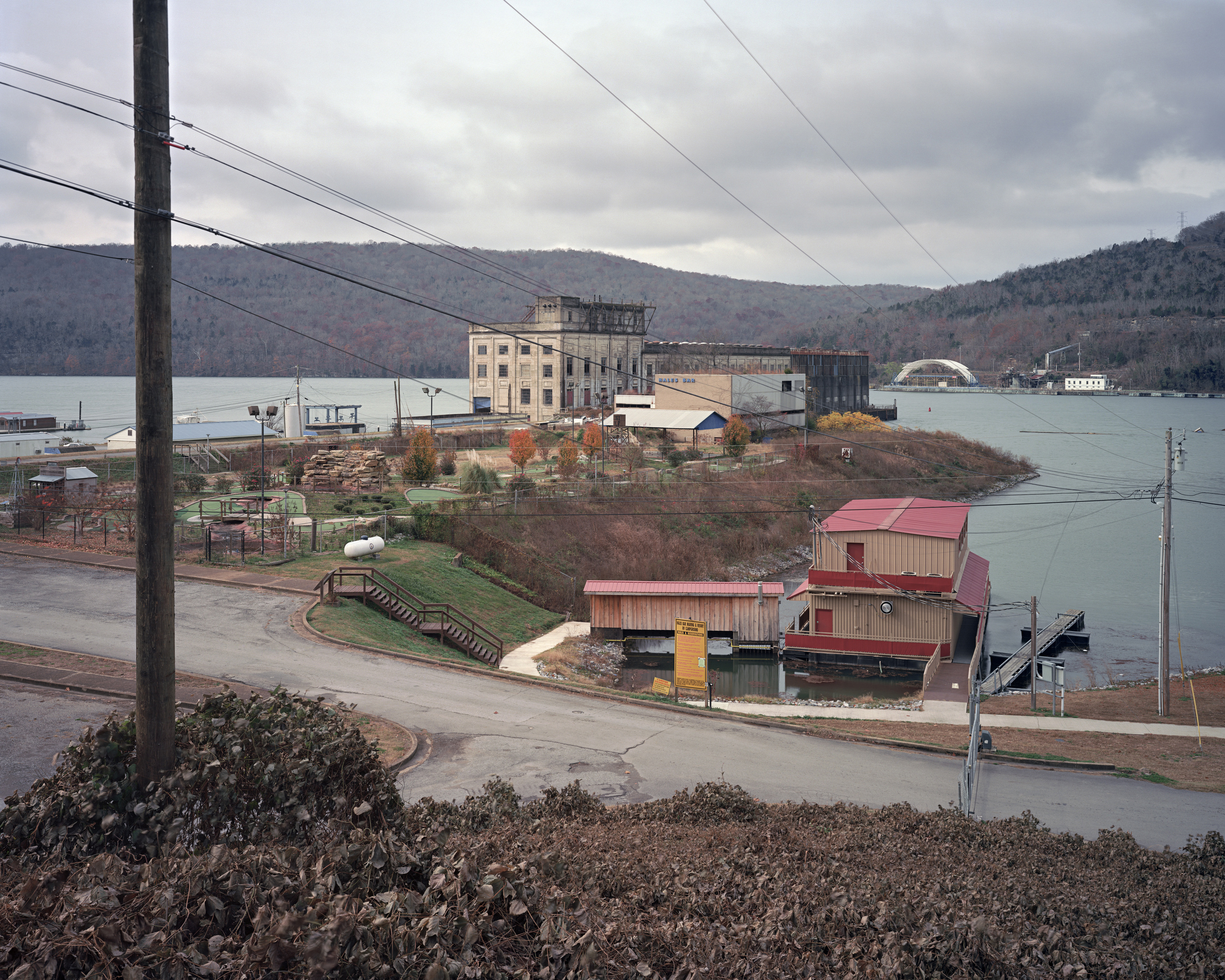
THE TENNESSEE RIVER
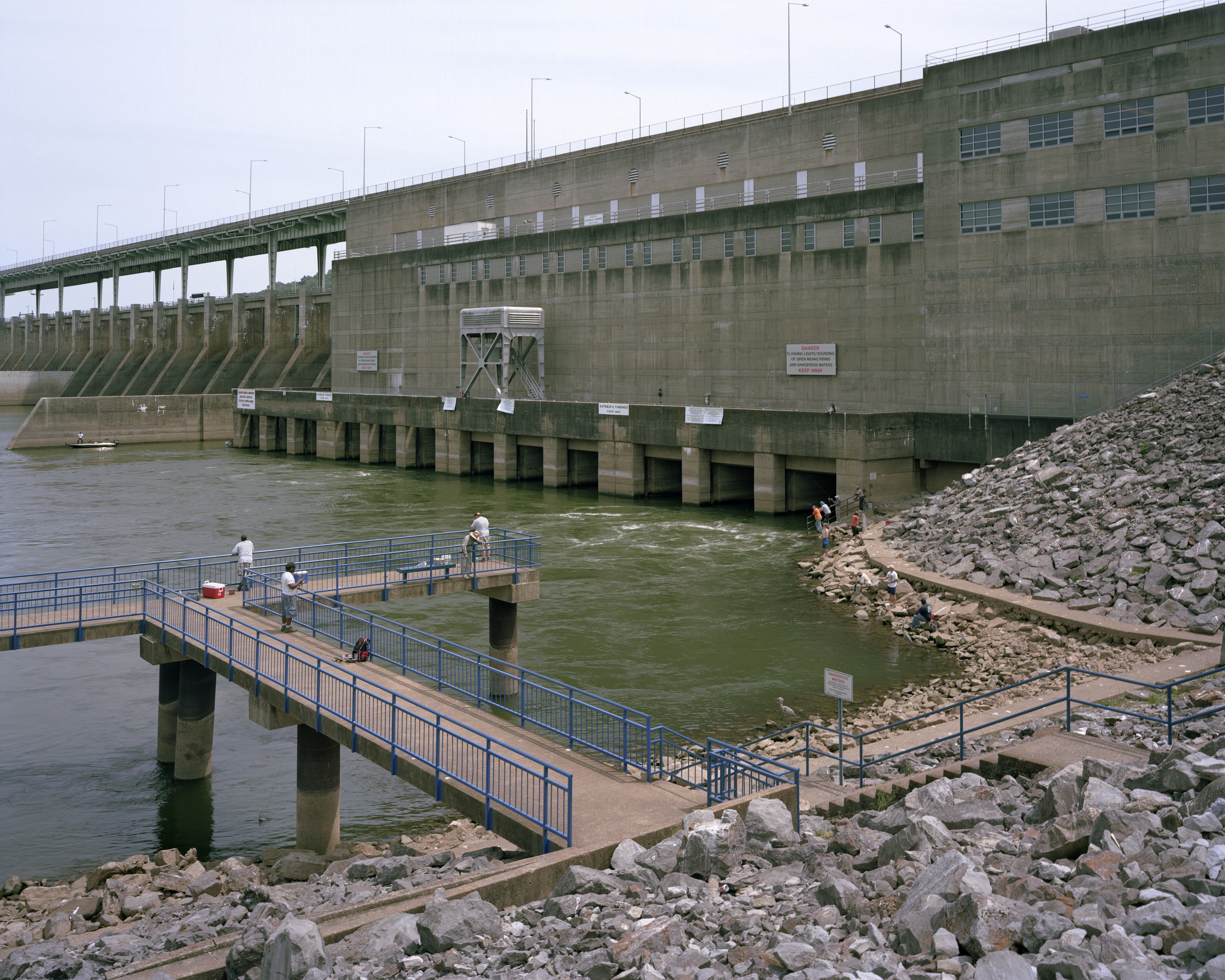
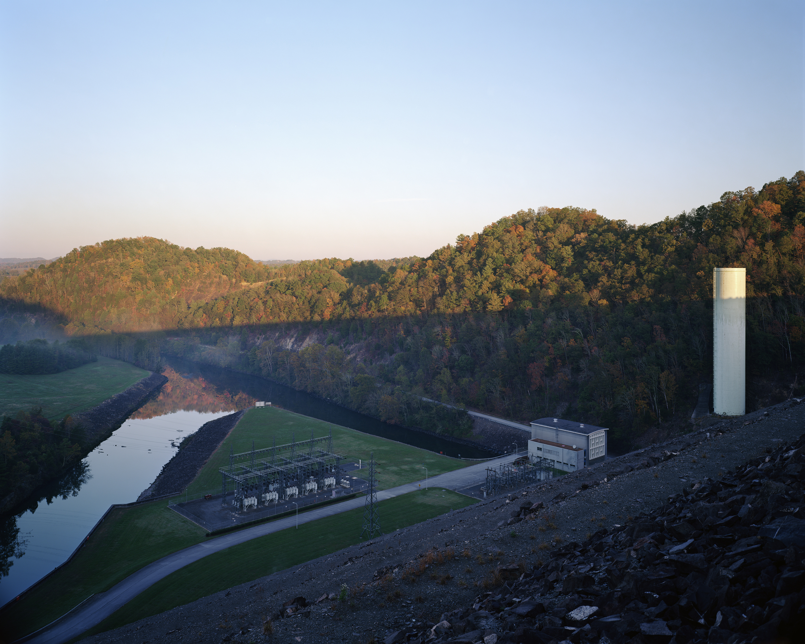
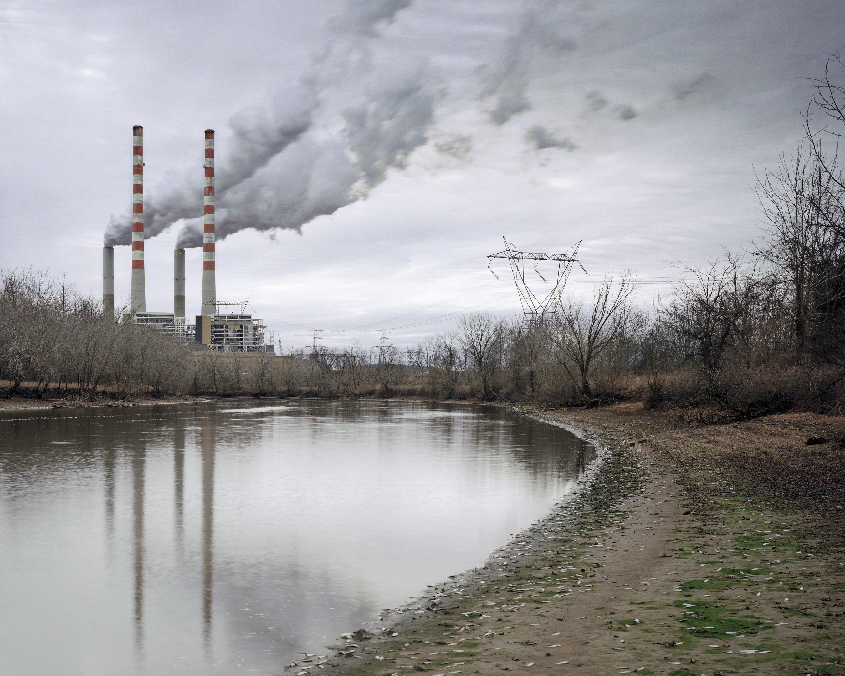
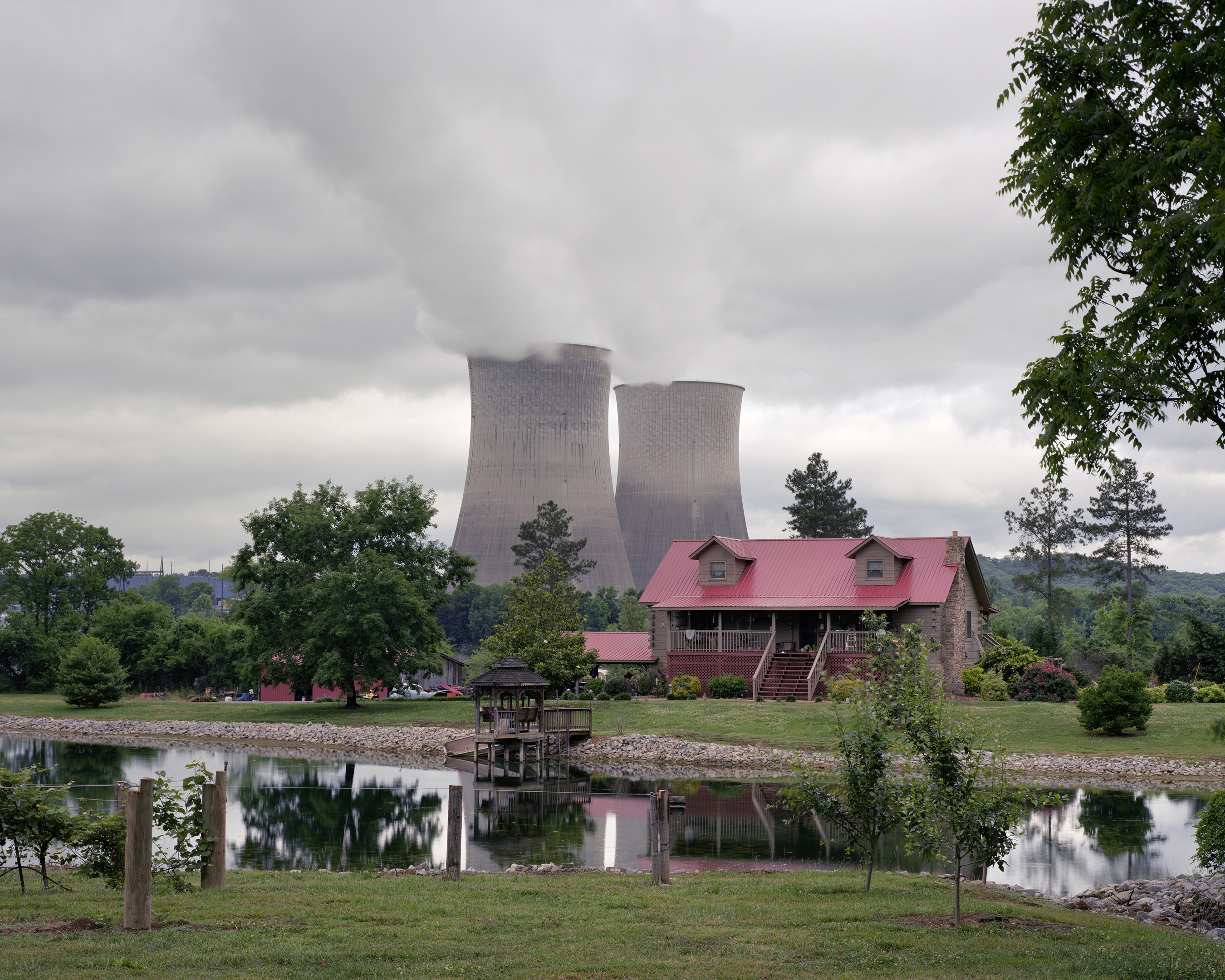
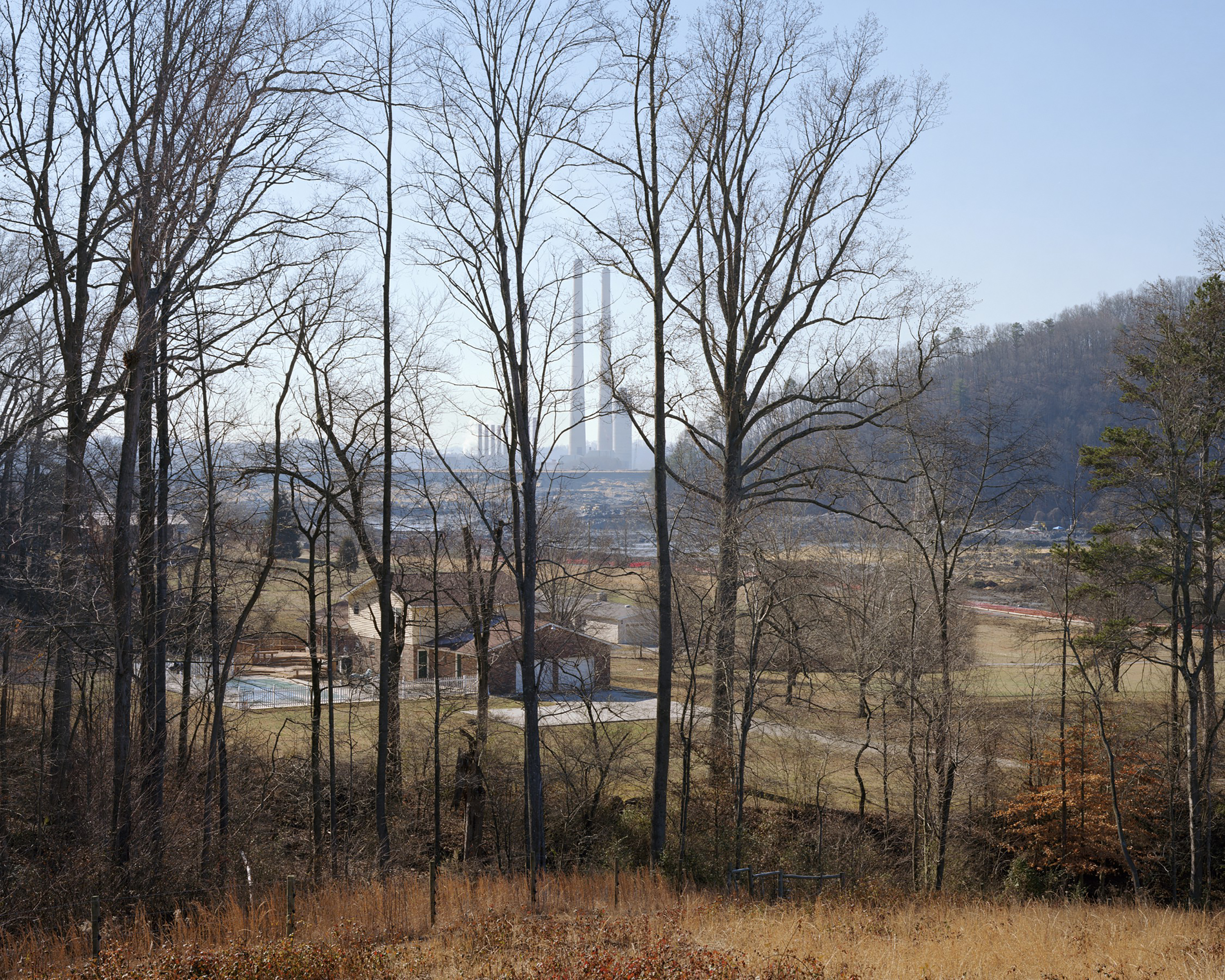
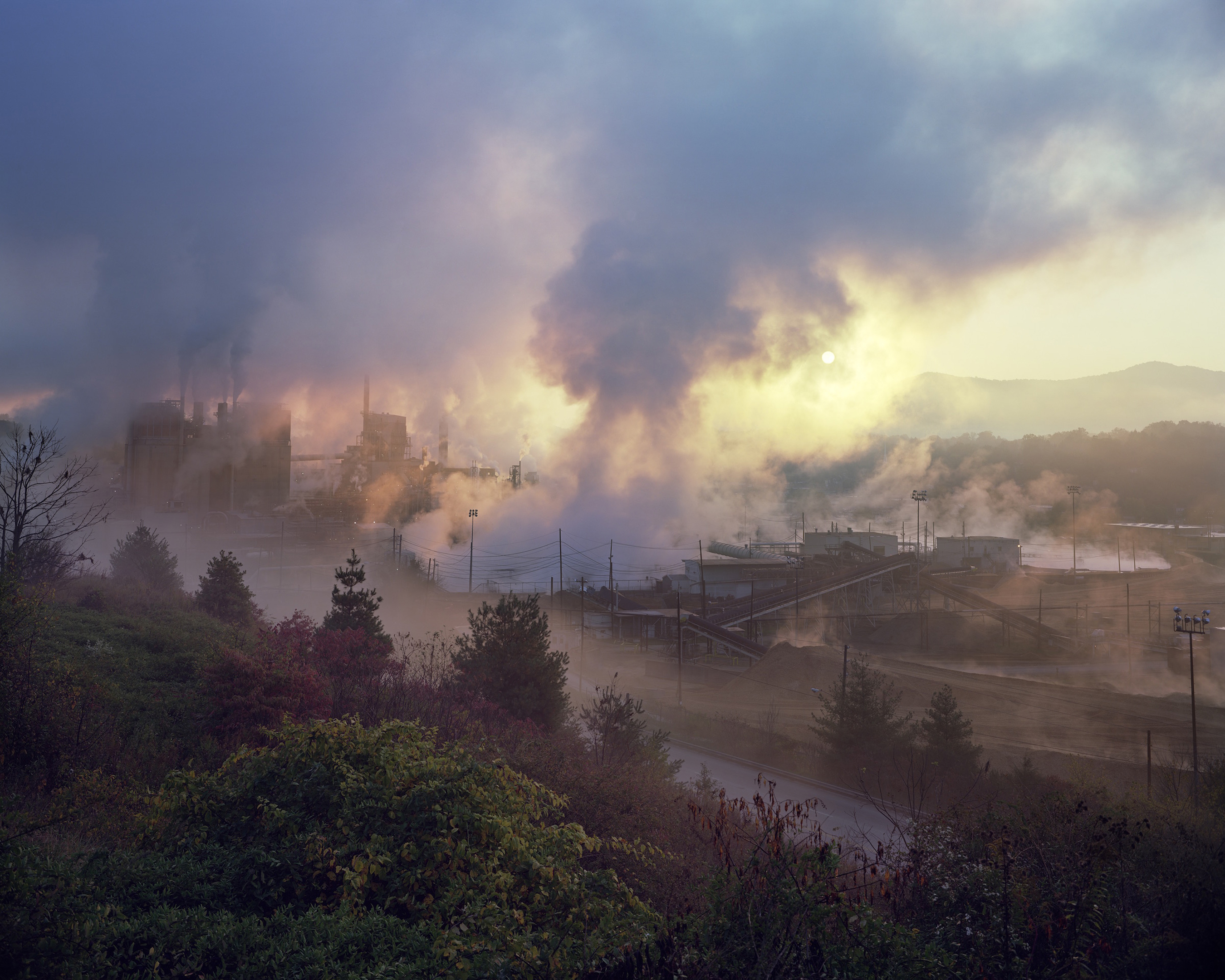
This project examines the complicated effects and consequences of large-scale modernization in the Tennessee River Watershed. As a starting point the project focuses on the Tennessee Valley Authority (TVA), which has completely reshaped the rivers and ecosystem of the Tennessee Valley, as well as the lives of its residents over nearly a century of evolution. The project forms the second phase of The Watershed Project, which is 15-year project that highlights the complex and often fraught relationship between land, water, and man within the Mississippi River Basin.
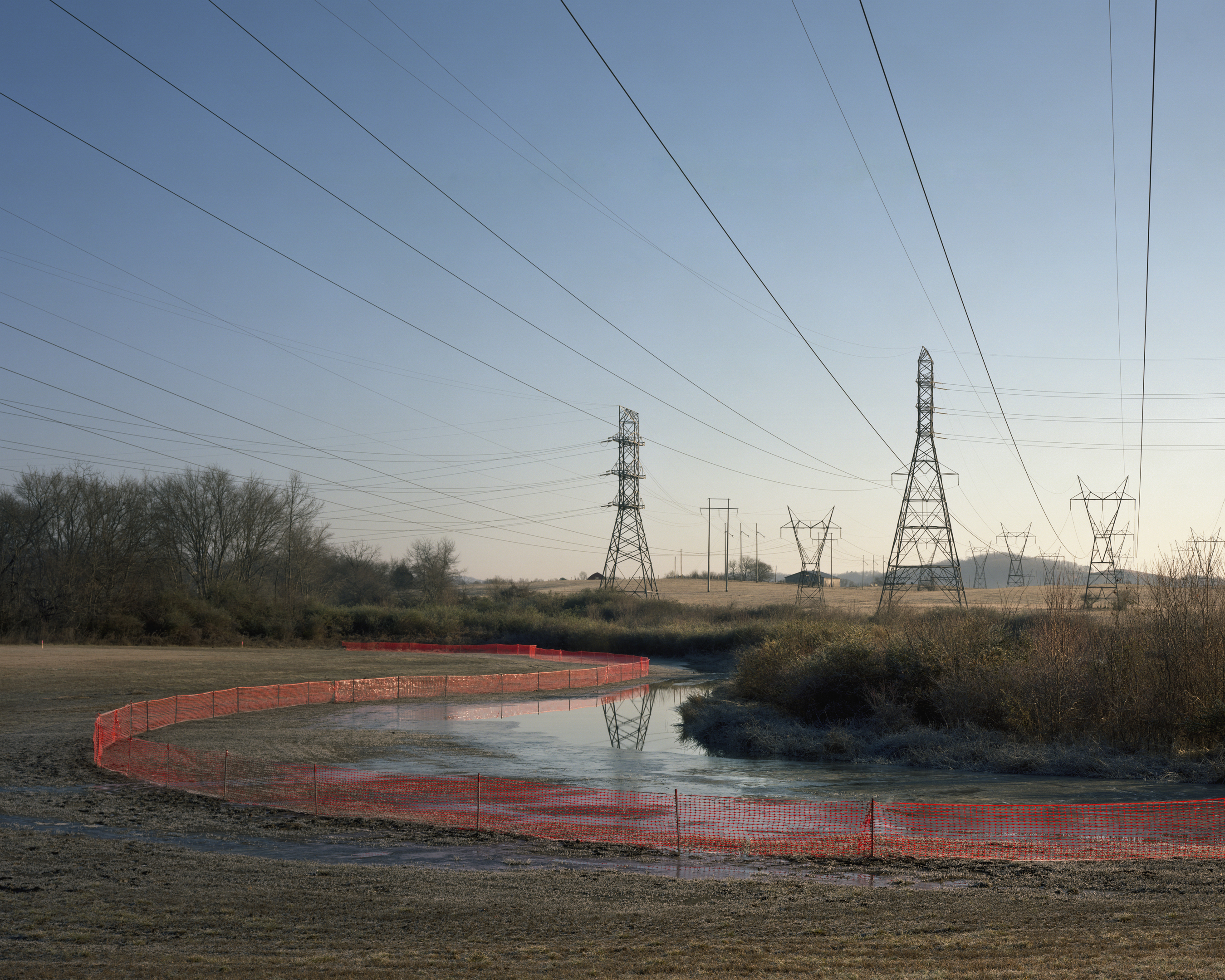
The energy industry is in the midst of enormous changes, and this project captures the TVA at a vital point, as they move away from Coal and towards Natural Gas and a greater use of Nuclear Power. The project incorporates archival photography from the early history of the TVA as well as contemporary photographic documentation of TVA sites, and the residents most effected by the agency’s projects. Additionally, Watershed considers the sustainable future of the watershed, by documenting remediation projects such as dam removal and the preservation of species and habitat in one of the most bio-diverse regions in the world.
The founding of the TVA was the start of an explosion of development across the Southeastern United States. A project that examines the environmental consequences in the 21st century is an essential document in order to better understand the TVA’s legacy and impact. The TVA can be seen as a precursor to many current large scale hydroelectric and modernization projects. Currently there are 50,000 large dams built worldwide, 90 percent of them built since 1950. The early successes of the TVA were an inspiration for this dam building frenzy. By examining the motivations for the creation of the TVA and its evolution in the 21st century, as well as sustainable remediation measures, this project offers a glimpse into a highly altered watershed.

Lieu: Tennessee River, USA
Publié: Novembre 2017
Catégorie: Photographie
Source