NGA
Tactical Pilotage Charts
1986–2003
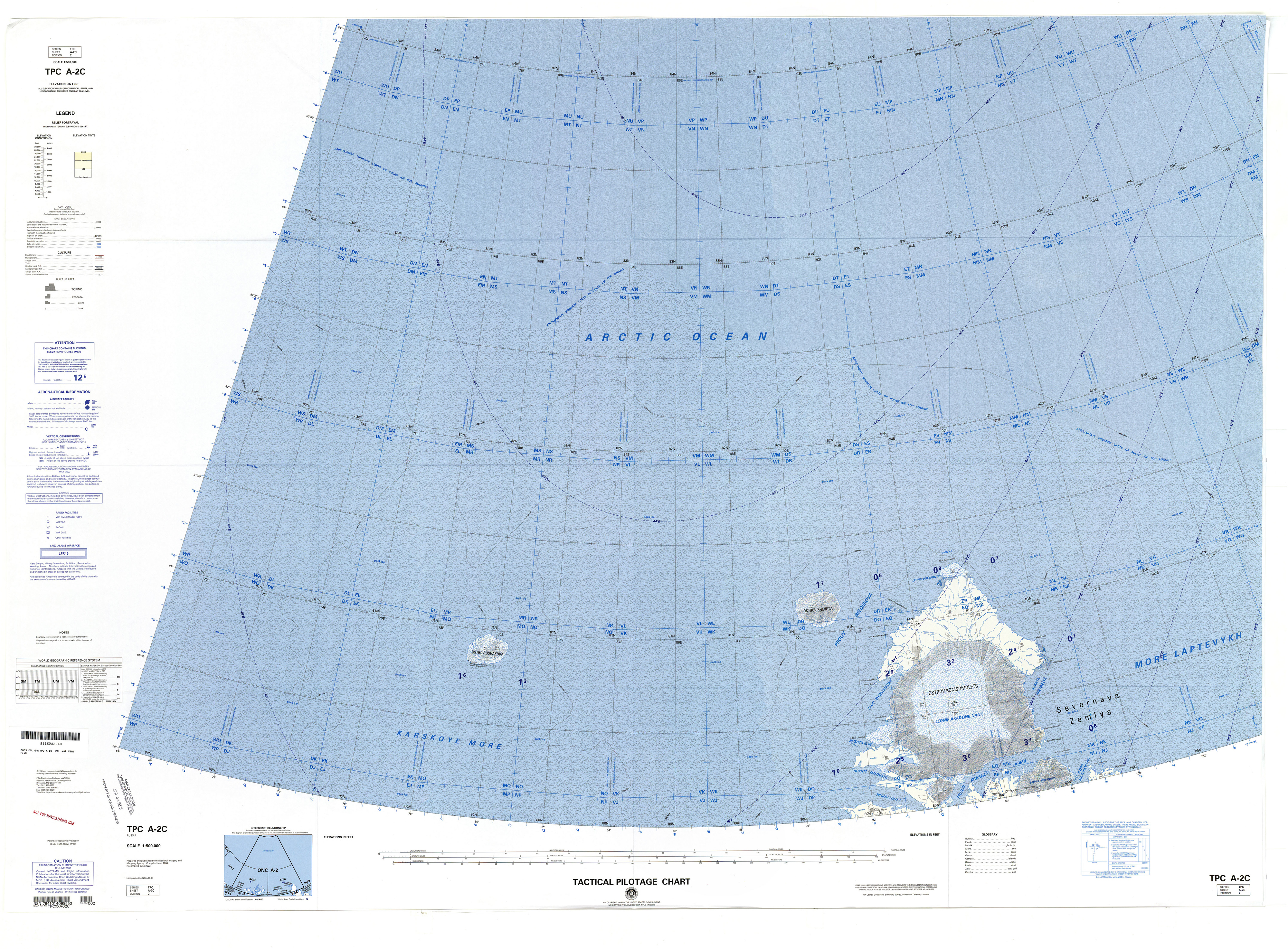
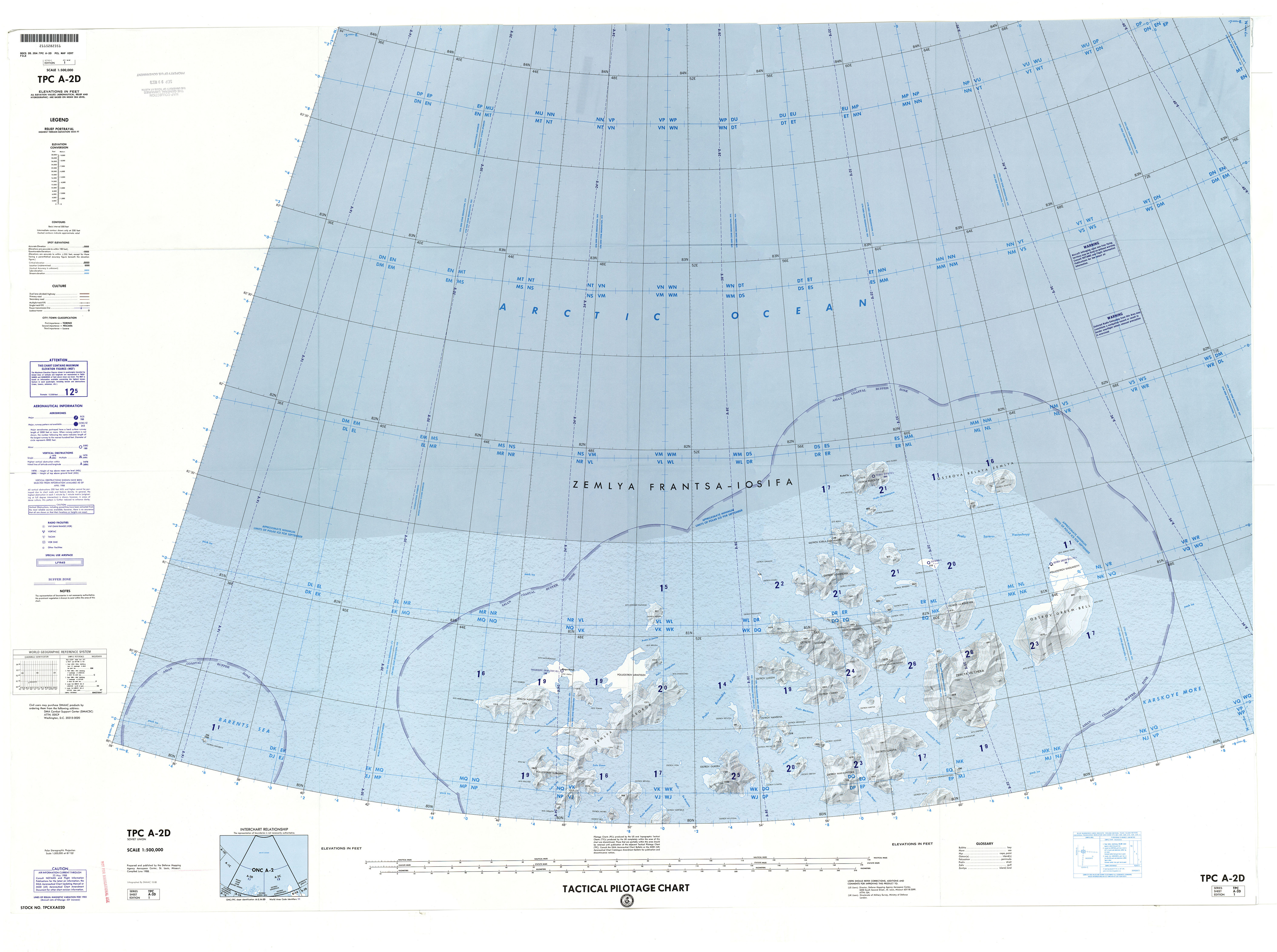
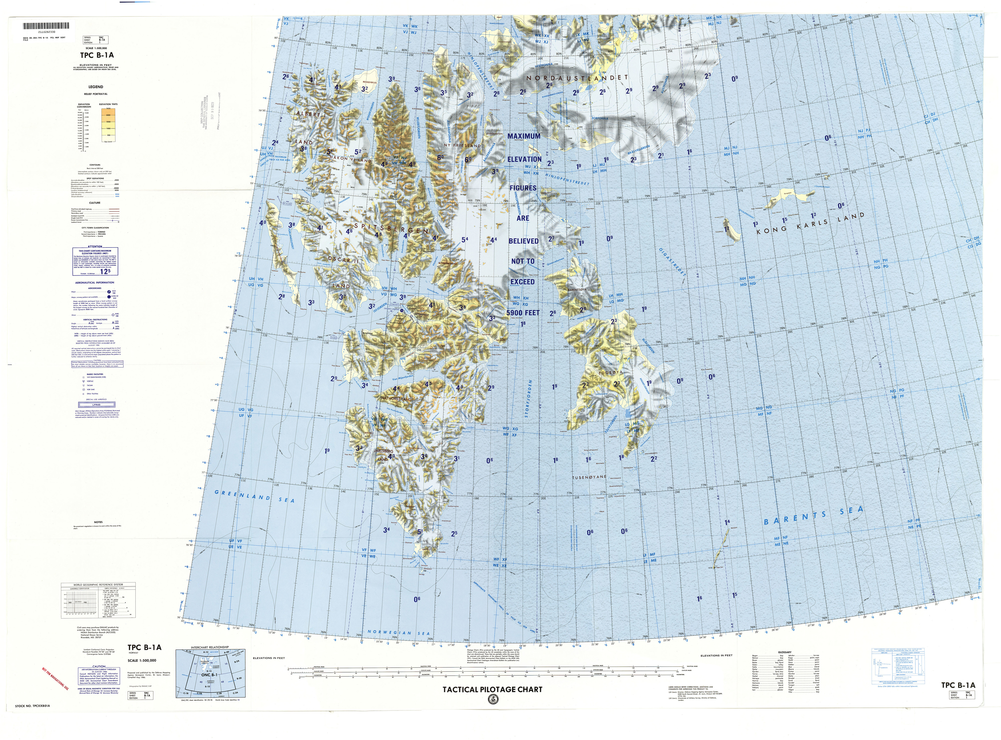
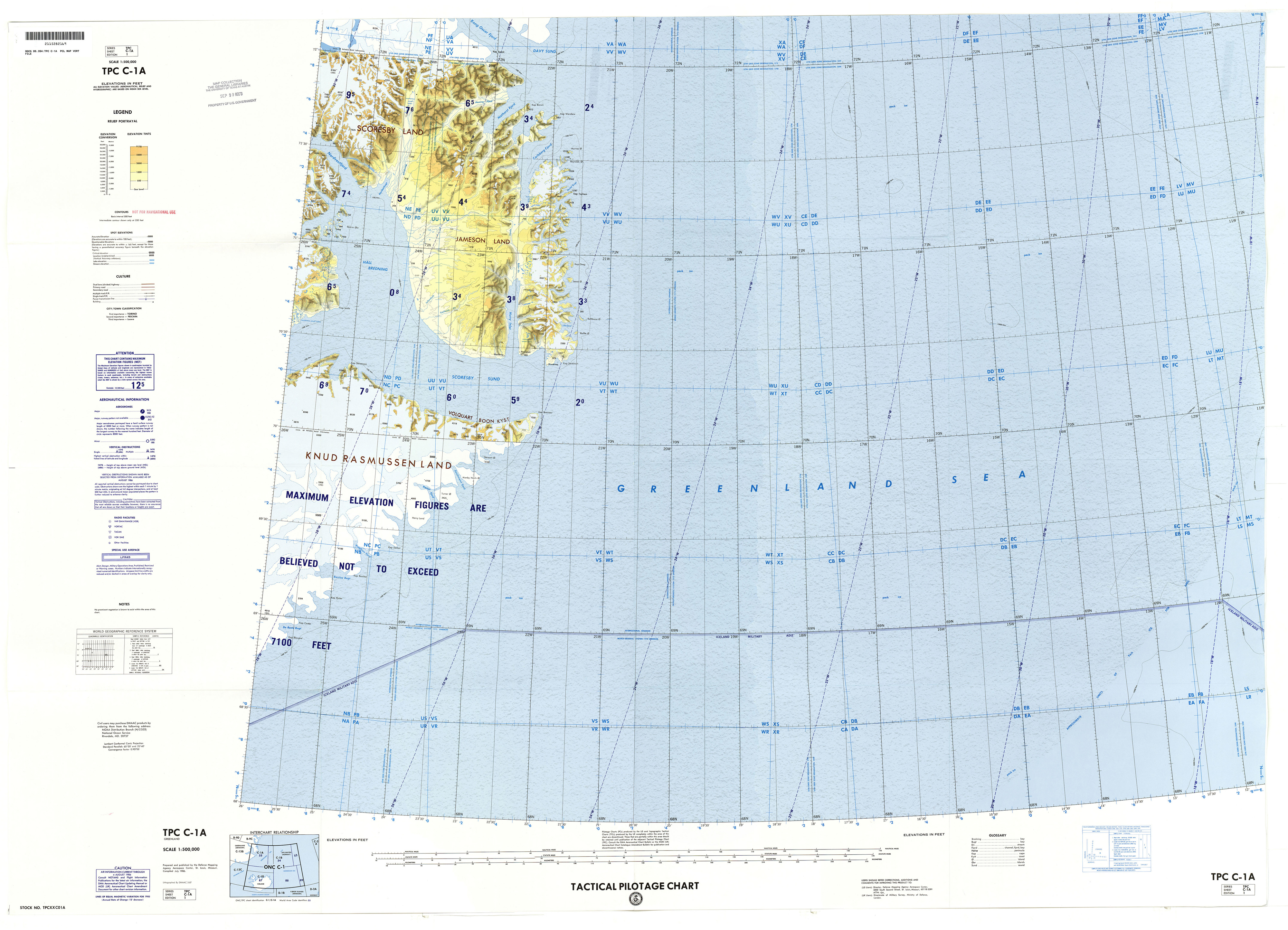
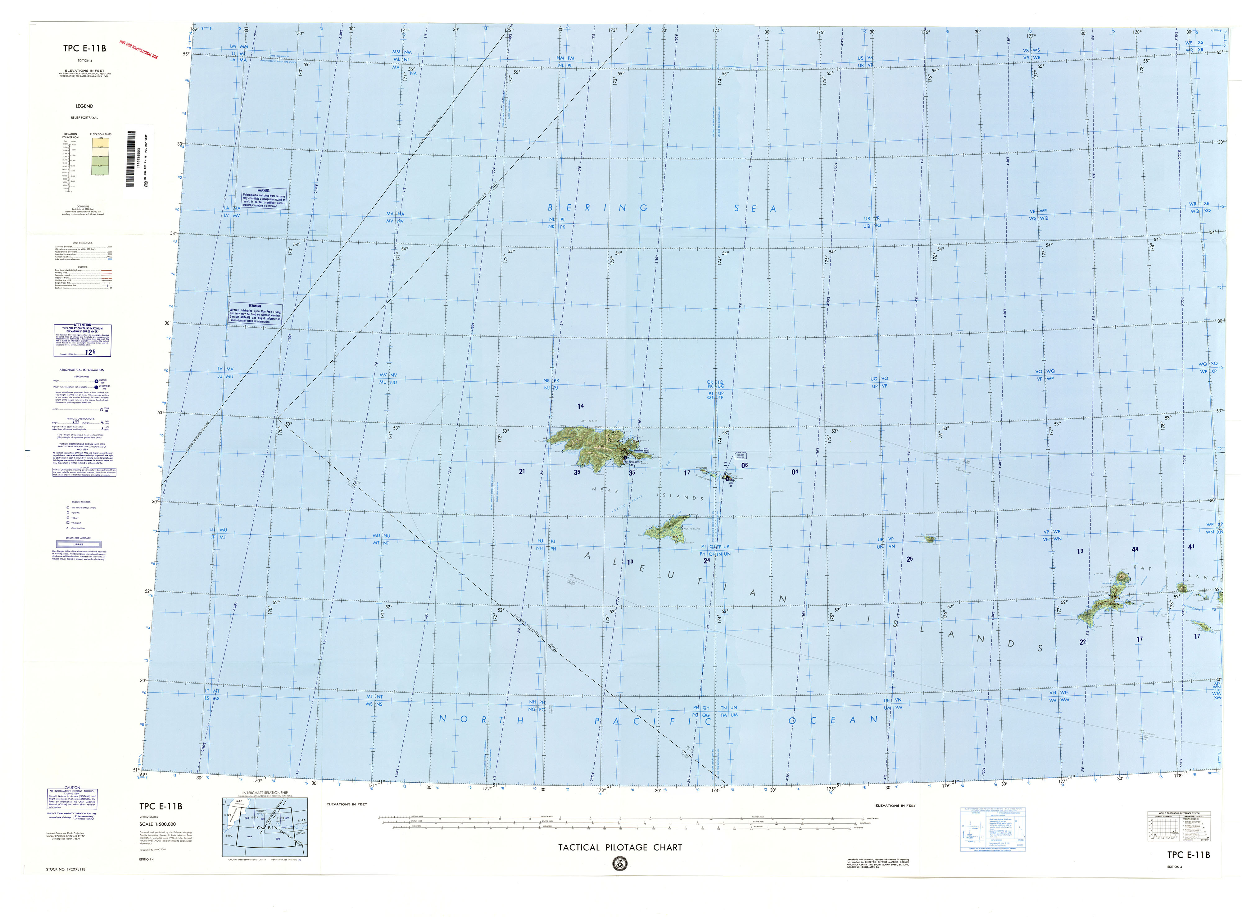
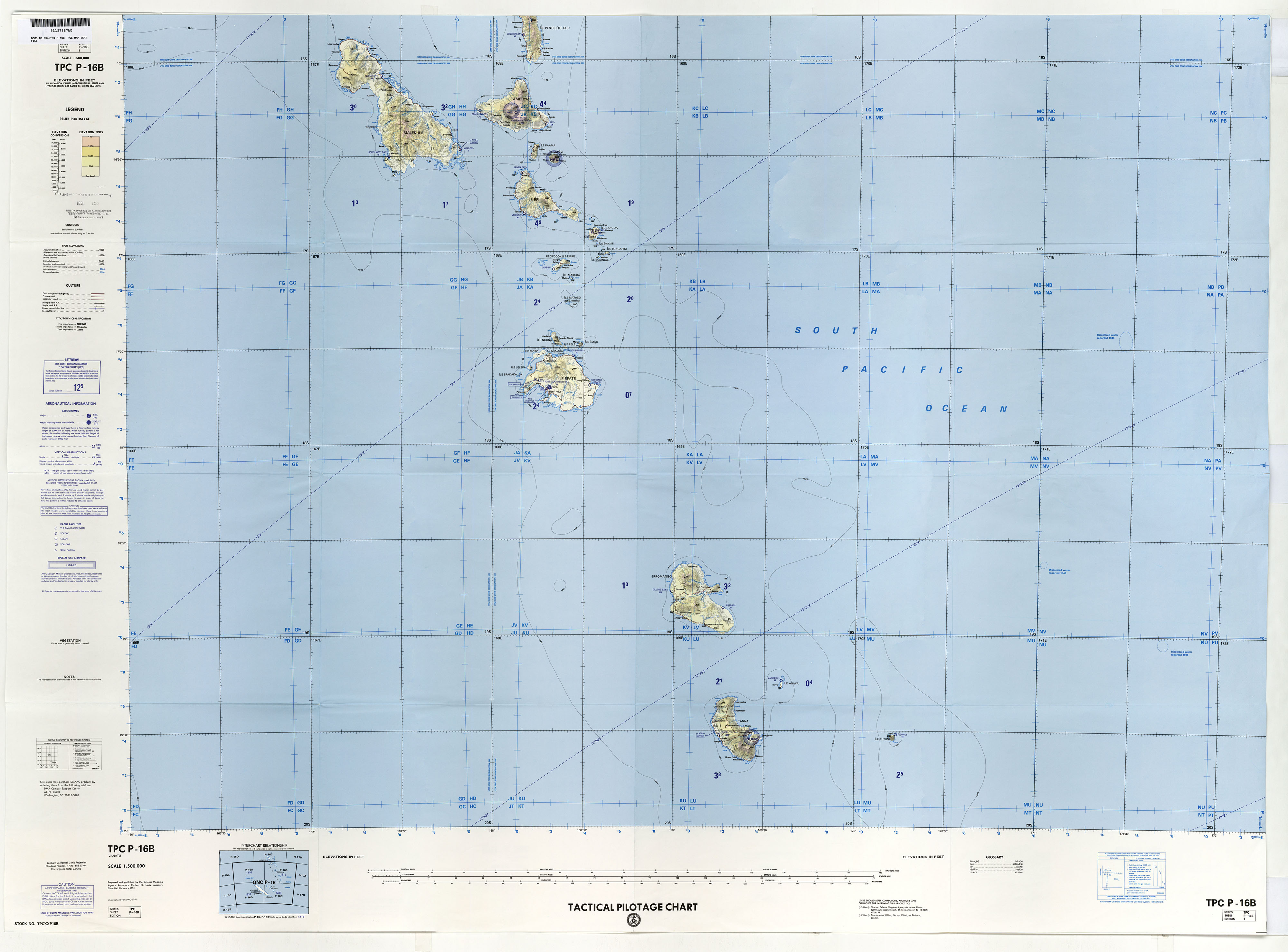
The Tactical Pilot Chart supports high-speed, low-altitude radar, and visual navigation of high-performance tactical and reconnaissance aircraft from low to medium altitudes. It is designed to assist close air operations by providing visual and radar navigation information. The knowledge of map symbology becomes important to understand cultural features depicted on the chart.
Lieu: Earth
Publié: Novembre 2015
Catégorie: Cartographie
Author: National Geospatial-Intelligence Agency
Collection: Perry-Castañeda Library Map Collection
Scale: 1:500’000
Publié: Novembre 2015
Catégorie: Cartographie