The U. S. Geological Survey has recently completed a series of new topographic maps of Micronesia in cooperation with the Trust Territory of the Pacific Islands, the Federal agency administering the islands. Monocolor 1:10,000-scale manuscripts were compiled, from which 1:25,000-scale metric quadrangles were derived with symbology consistent with USGS quadrangle mapping. The publication of these new maps coincides with the impending political changes resulting from self-determination referendums held in Micronesia. Local sources have helped considerably with field logistics and resolution of geographic name controversies. Technical aspects of this project included development of tropical feature symbology, location of cadastral subdivisions and associated boundaries and mapping of many outlying coral reefs.
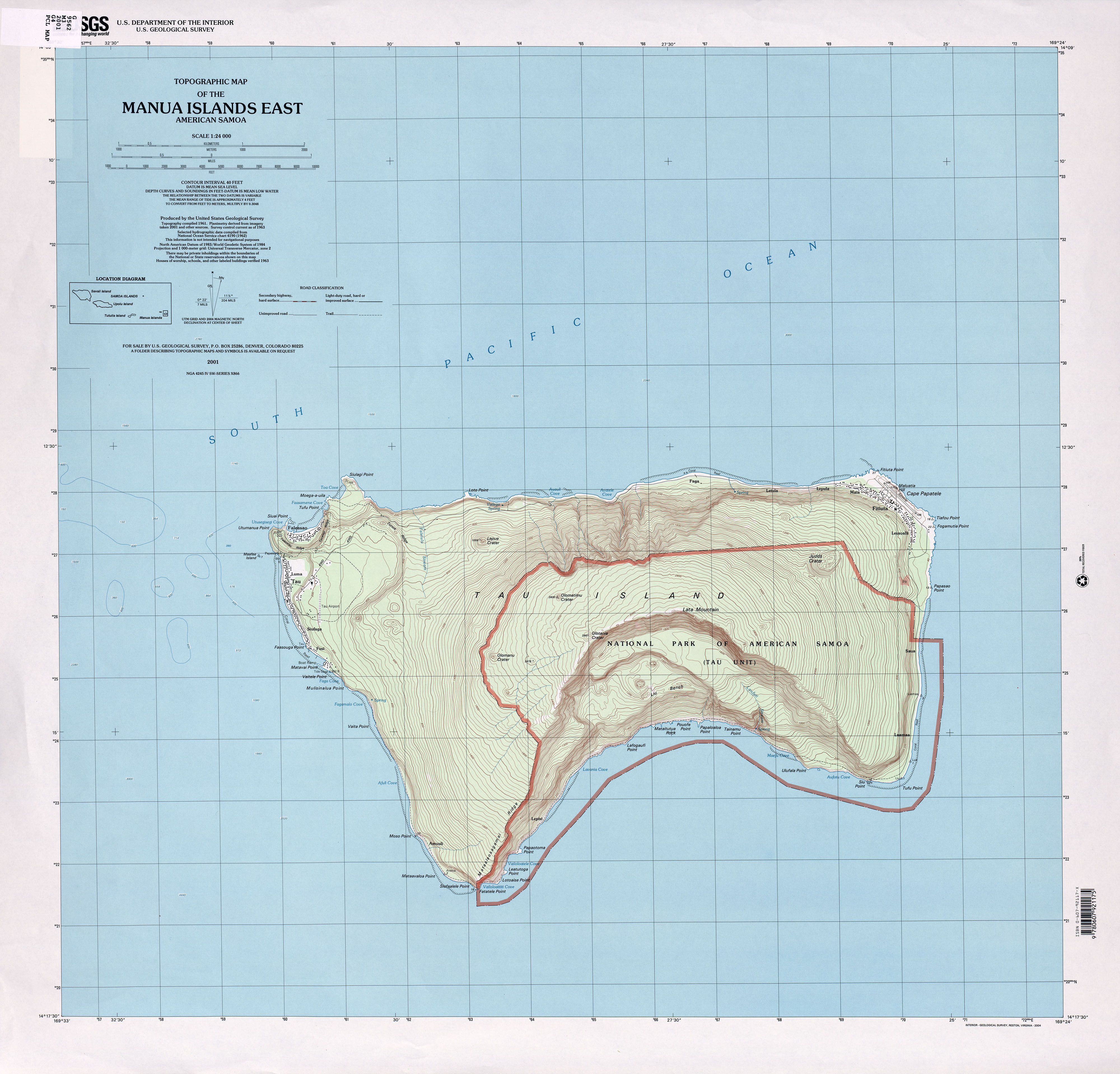
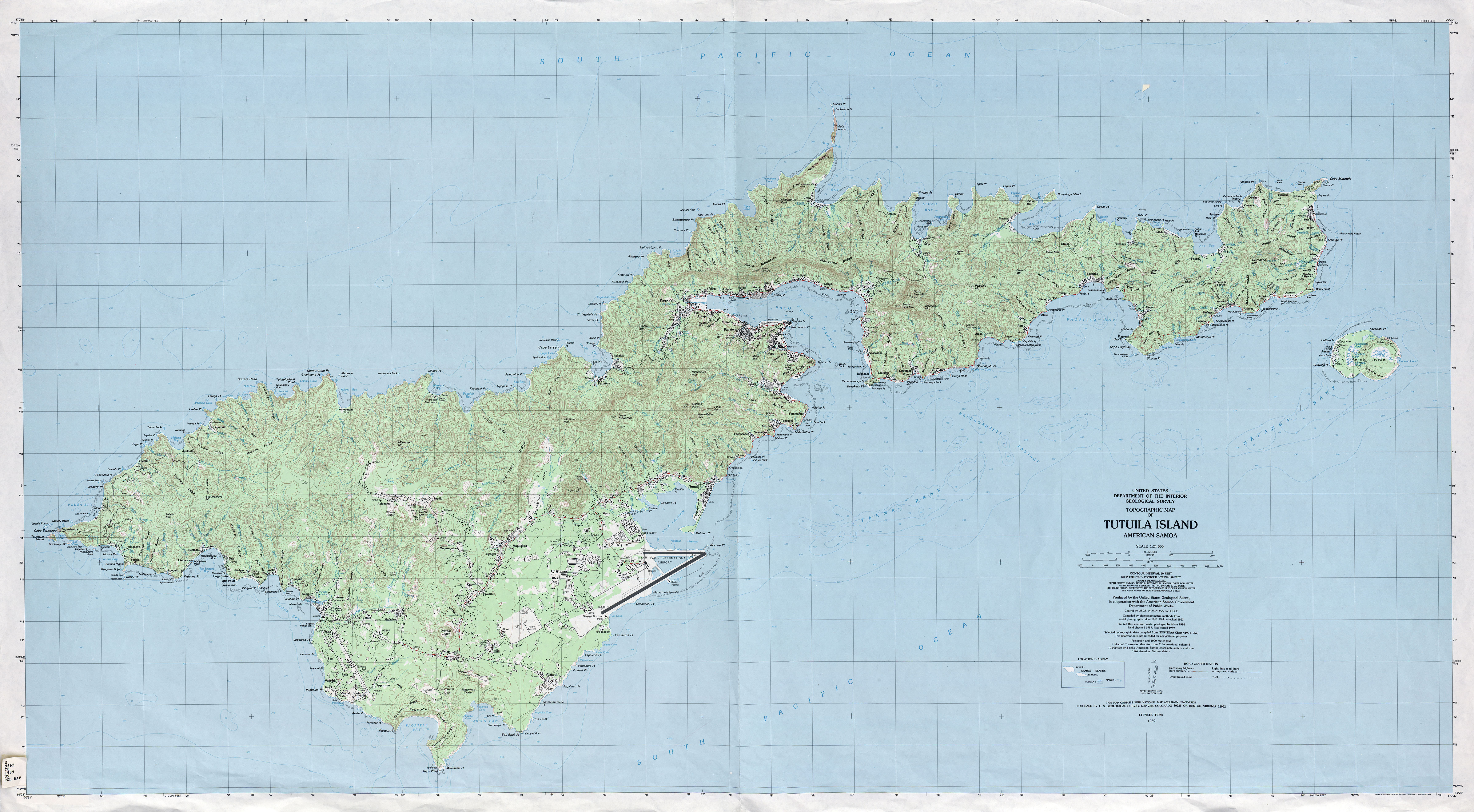
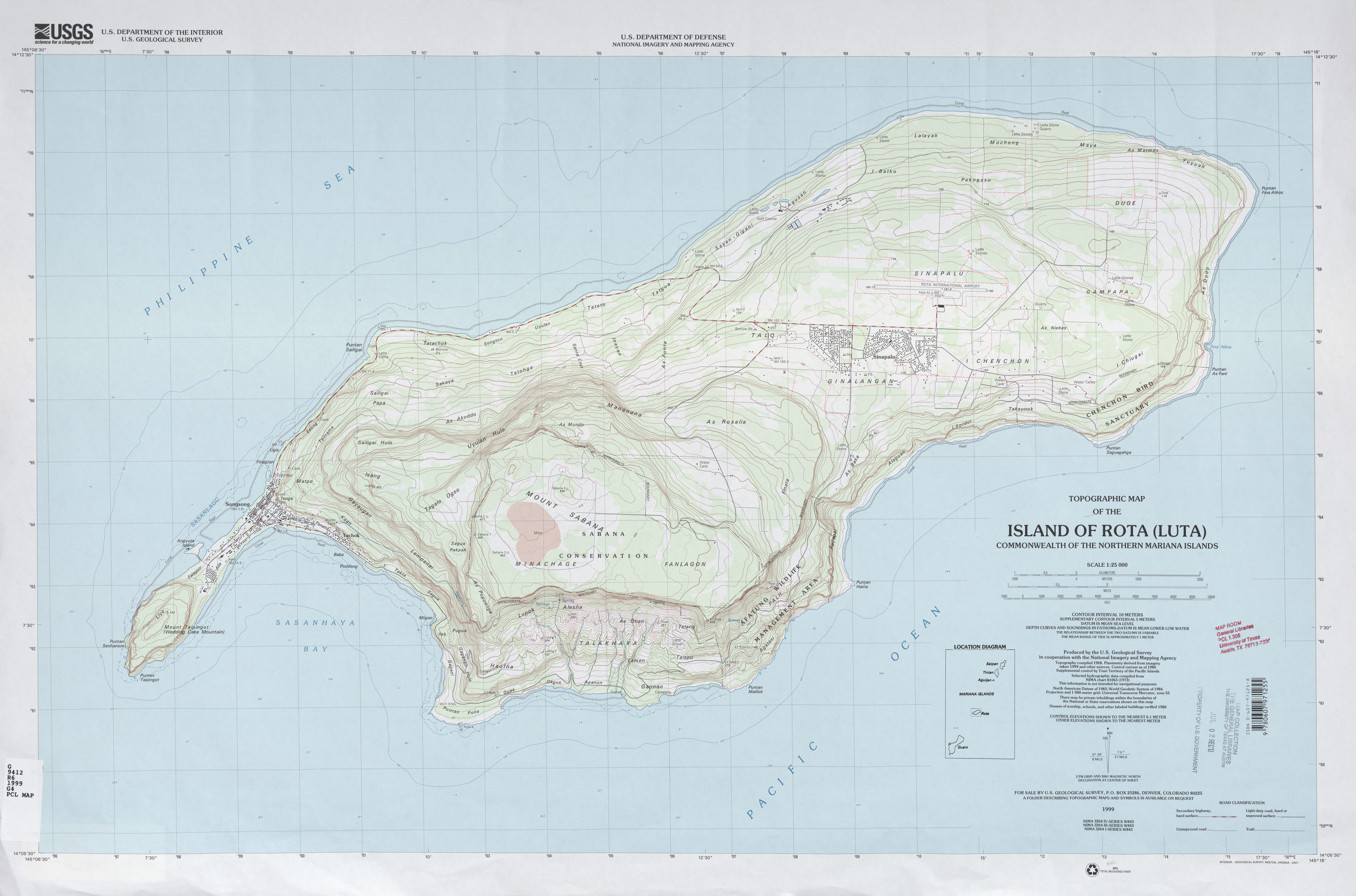
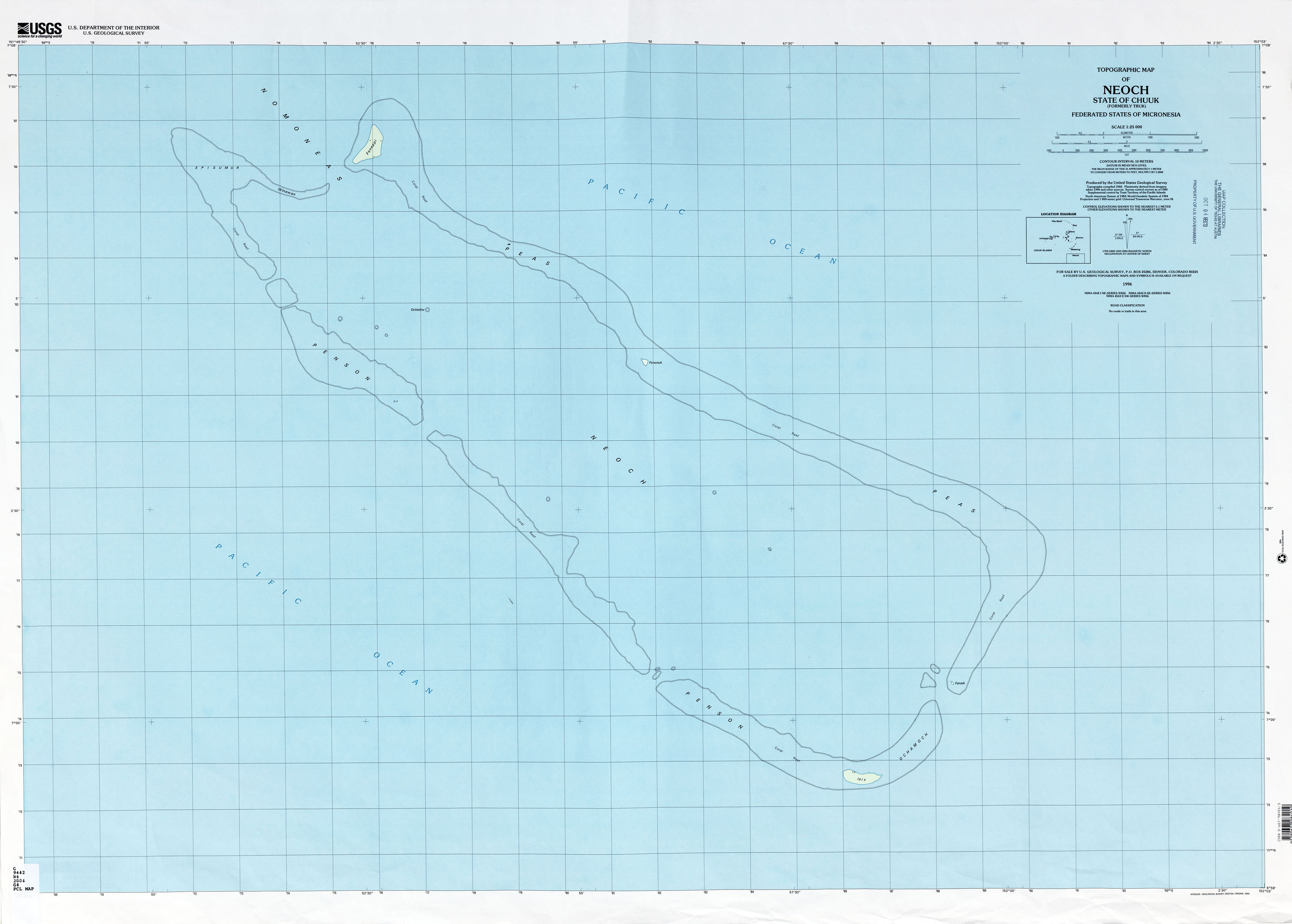
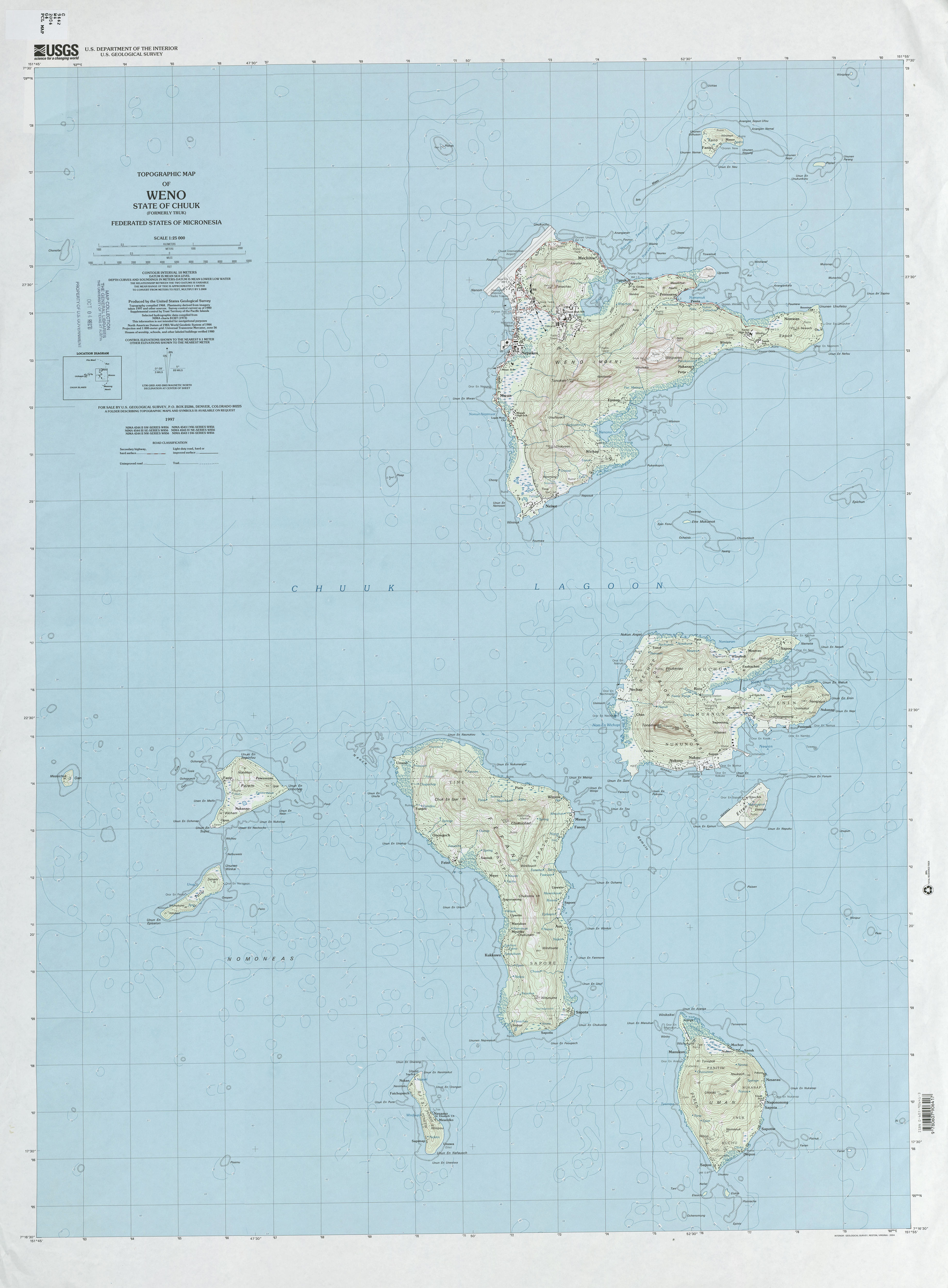
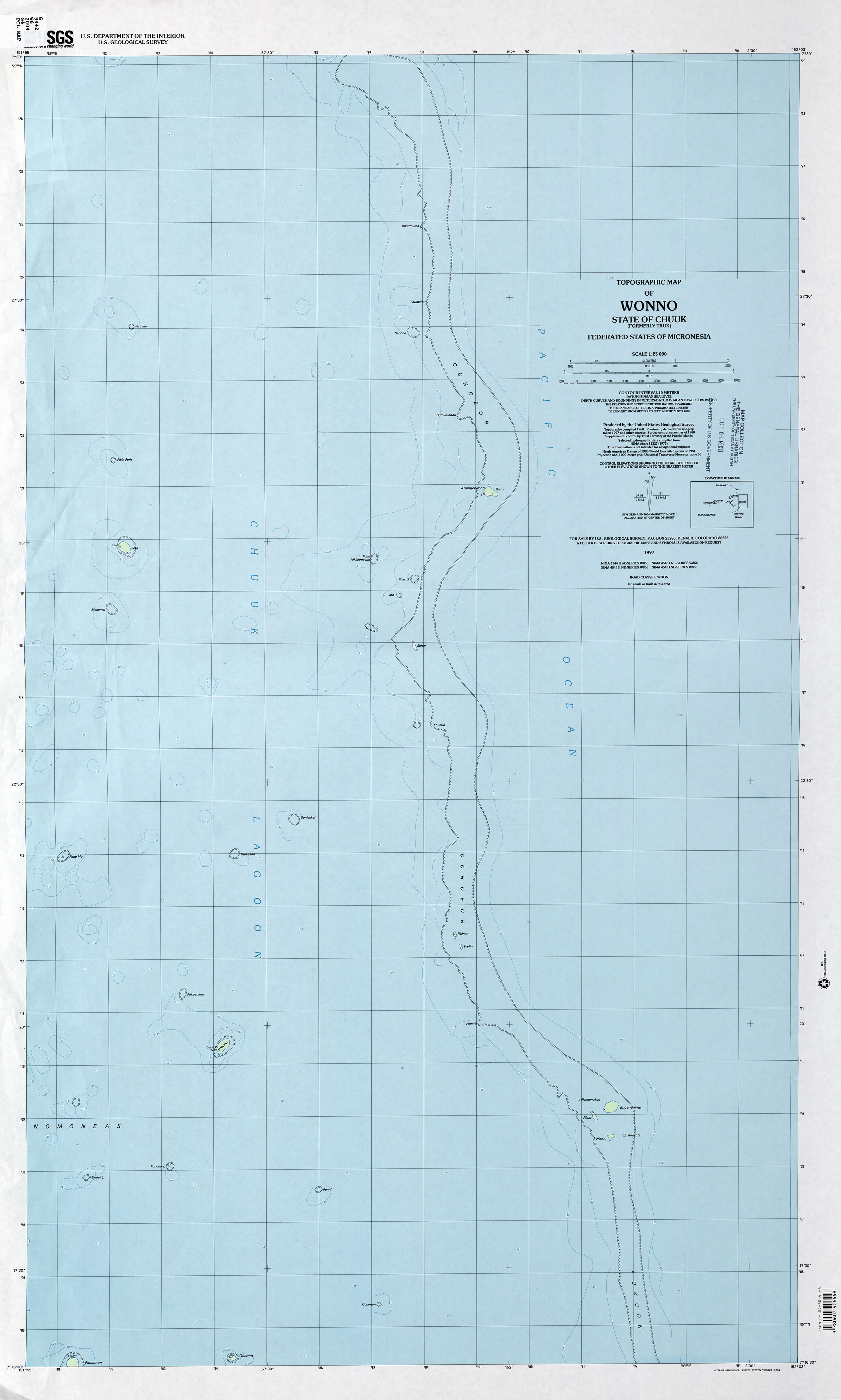
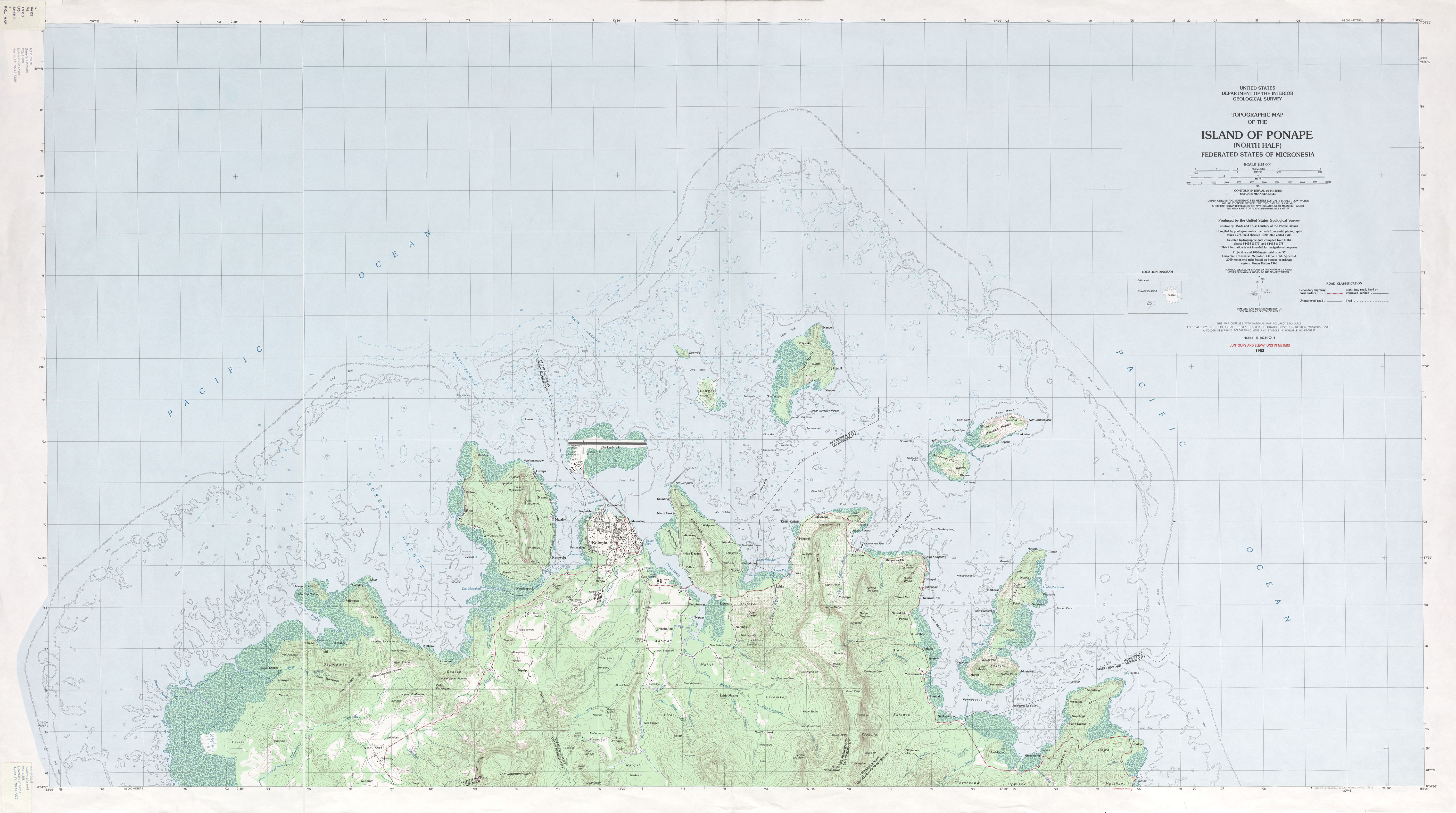
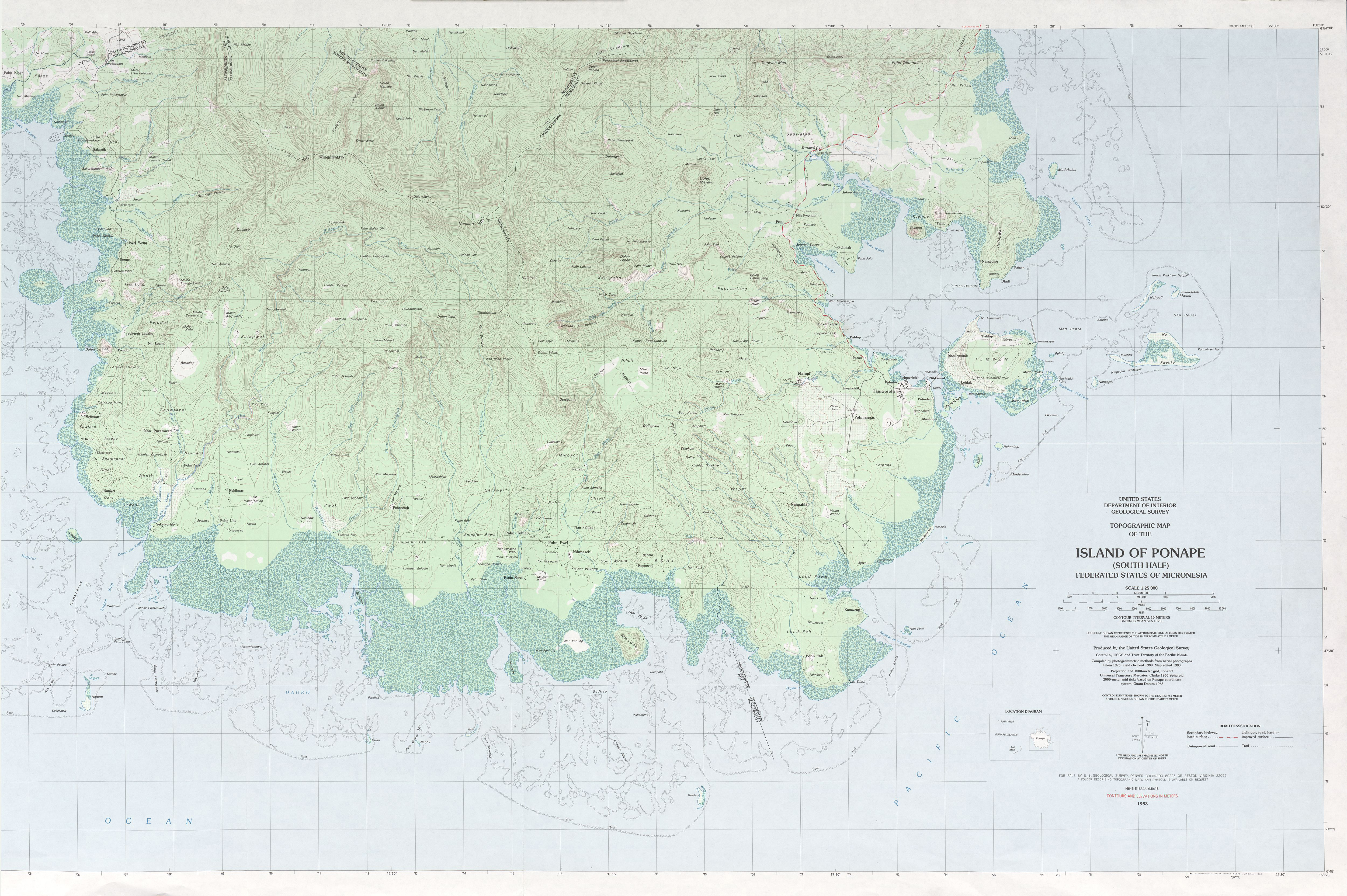
Manua Islands, American Samoa, 1963Manua Islands East, American Samoa, 2001Manua Islands West, American Samoa, 2001Tutuila Island, American Samoa, 1963Tutuila Island, American Samoa, 1989Tutuila Island East, American Samoa, 2001Tutuila Island East, American Samoa, 2001Island of Rota (Luta), Commonwealth of the Northern Mariana Islands, 1999Island of Saipan, Commonwealth of the Northern Mariana Islands, 1999Island of Tinian, Commonwealth of the Northern Mariana Islands, 1999Chuuk (Truk) Meseong, Federated States of Micronesia, 1996Chuuk (Truk) Moen Island, Federated States of Micronesia, 1983Chuuk (Truk) Neoch, Federated States of Micronesia, 1996Chuuk (Truk) Piis Moen, Federated States of Micronesia, 1997Chuuk (Truk) Ruo, Federated States of Micronesia, 1997Chuuk (Truk) Tol, Federated States of Micronesia, 1983Chuuk (Truk) Unikappi, Federated States of Micronesia, 1997Chuuk (Truk) Weno, Federated States of Micronesia, 1997Island of Kosrae, Federated States of Micronesia, 2001Ponape North and South Sheets, Federated States of Micronesia, 1983Ponape North, Federated States of Micronesia, 1983Ponape Northeast, Federated States of Micronesia, 1983Ponape Northwest, Federated States of Micronesia, 1983Ponape South, Federated States of Micronesia, 1983Ponape Southeast, Federated States of Micronesia, 1983Ponape Southwest, Federated States of Micronesia, 1983Yap Islands (Waqab), Federated States of Micronesia, 2003