NOAA
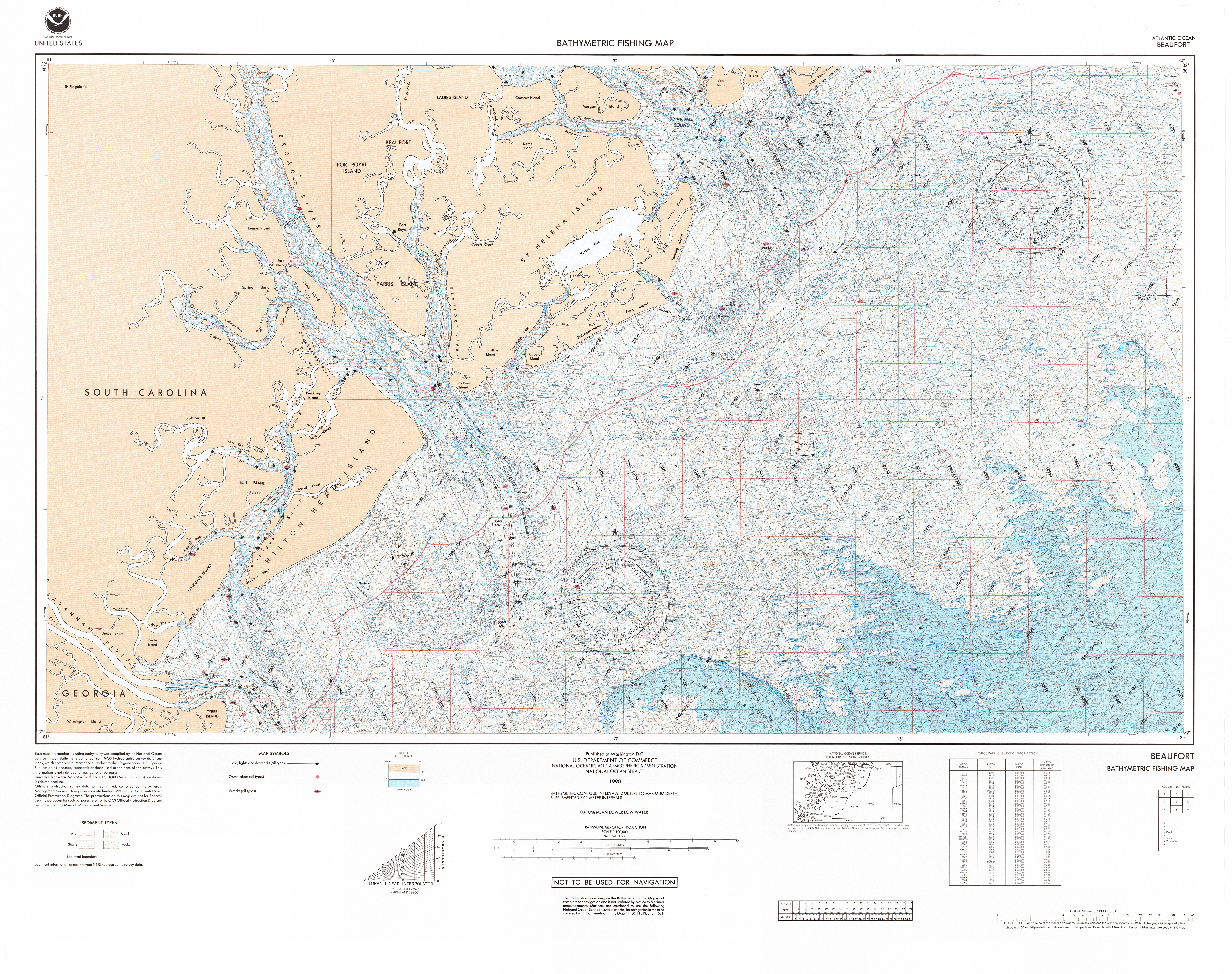
Bathymetric Fishing Maps
1989–1990
Topographic maps of the sea floor, produced at a 1:100’000 scale that contain Loran-C rates, bottom sediment types and known bottom obstructions. This product is intended to aid fishermen and those needing seafloor features and potential fishing grounds.


40°00'00.0"N 100°00'00.0"W
Lieu: USA
Publié: Janvier 2018
Catégorie: Cartographie
Lieu: USA
Projection: Transverse Mercator
Scale: 1:100’000
Collection: National Ocean Service Bathymetric & Fishing Maps
Publié: Janvier 2018
Catégorie: Cartographie