Otto Betschmann
Aerovue-Karten
1928–1938
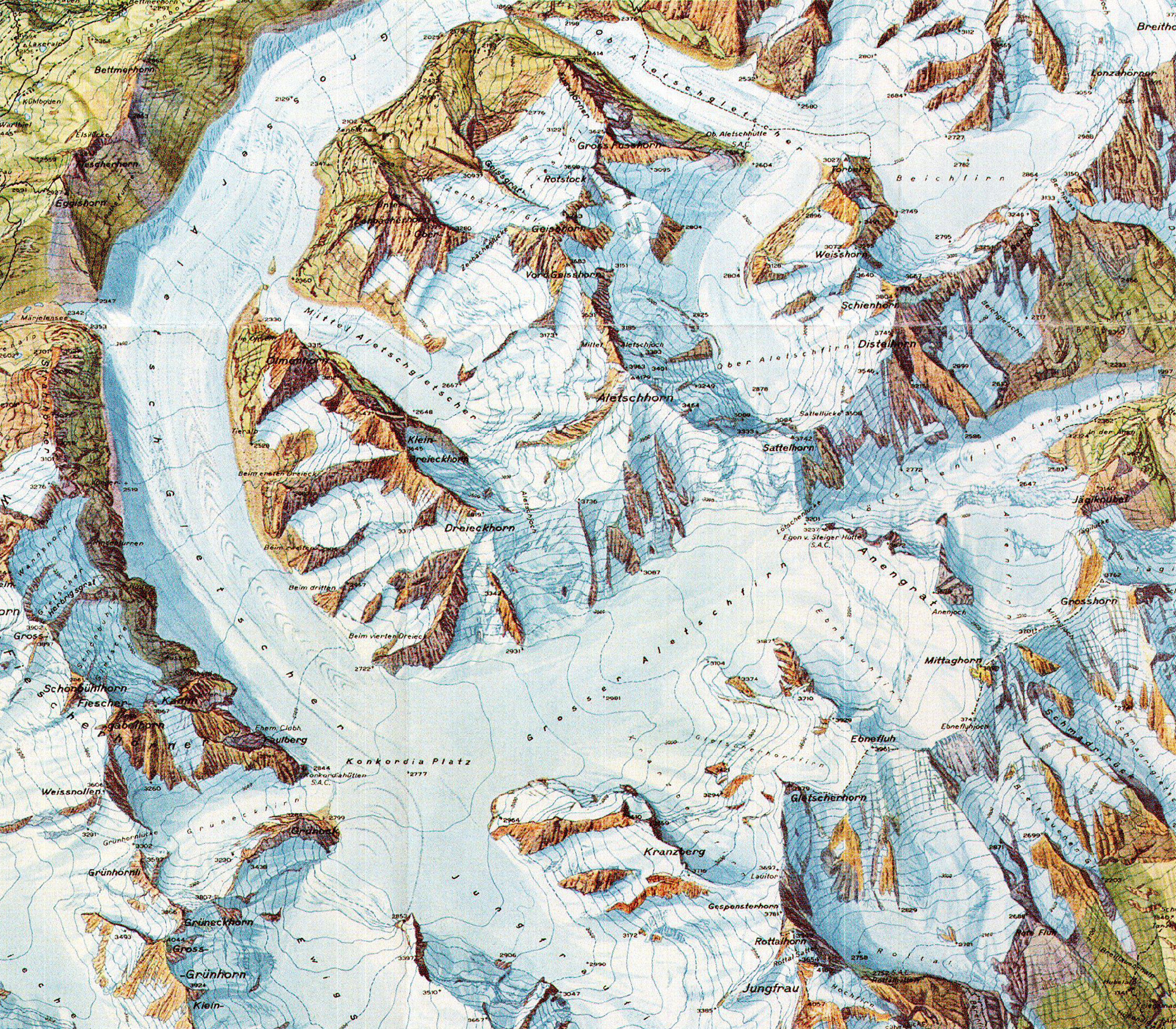
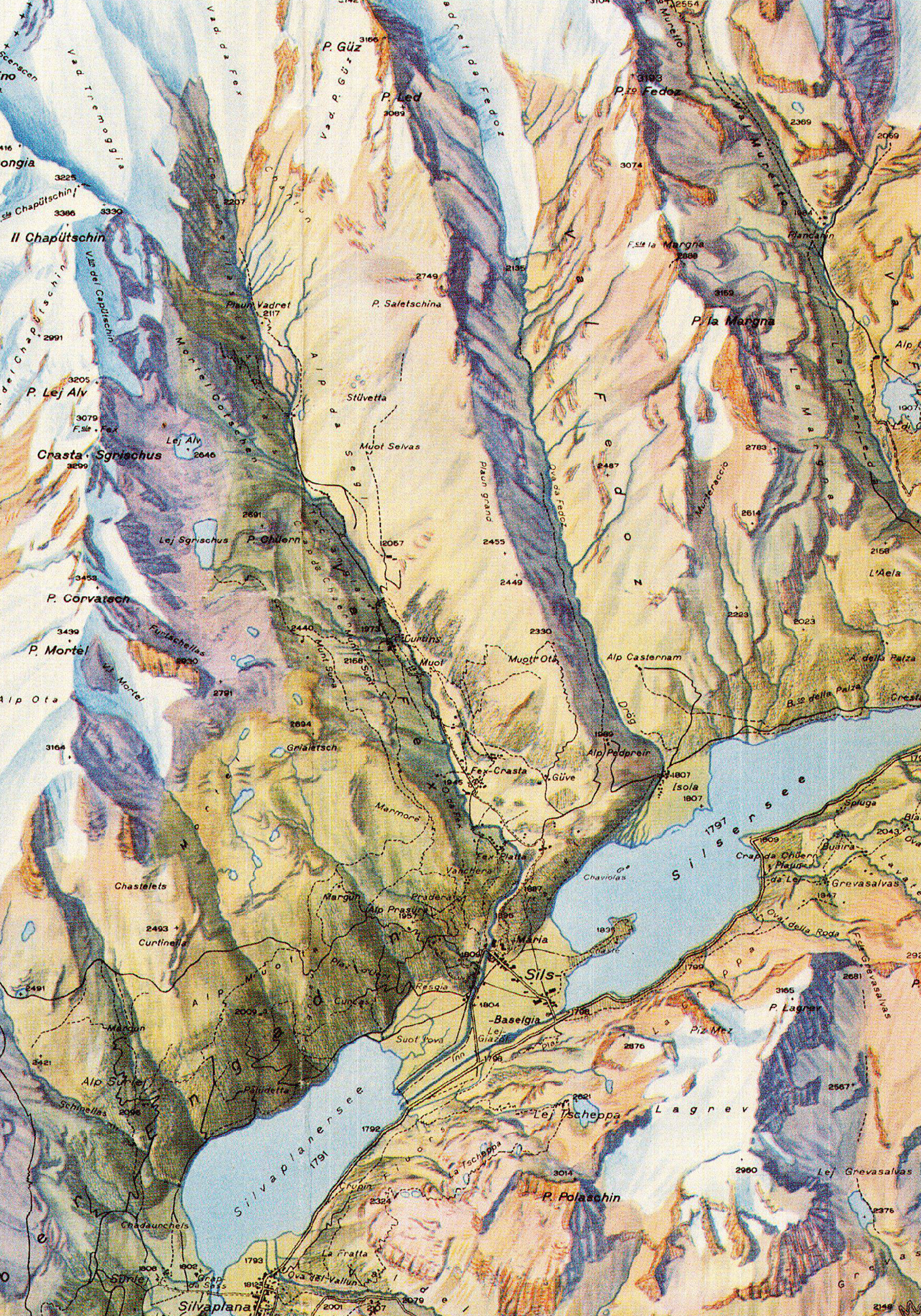
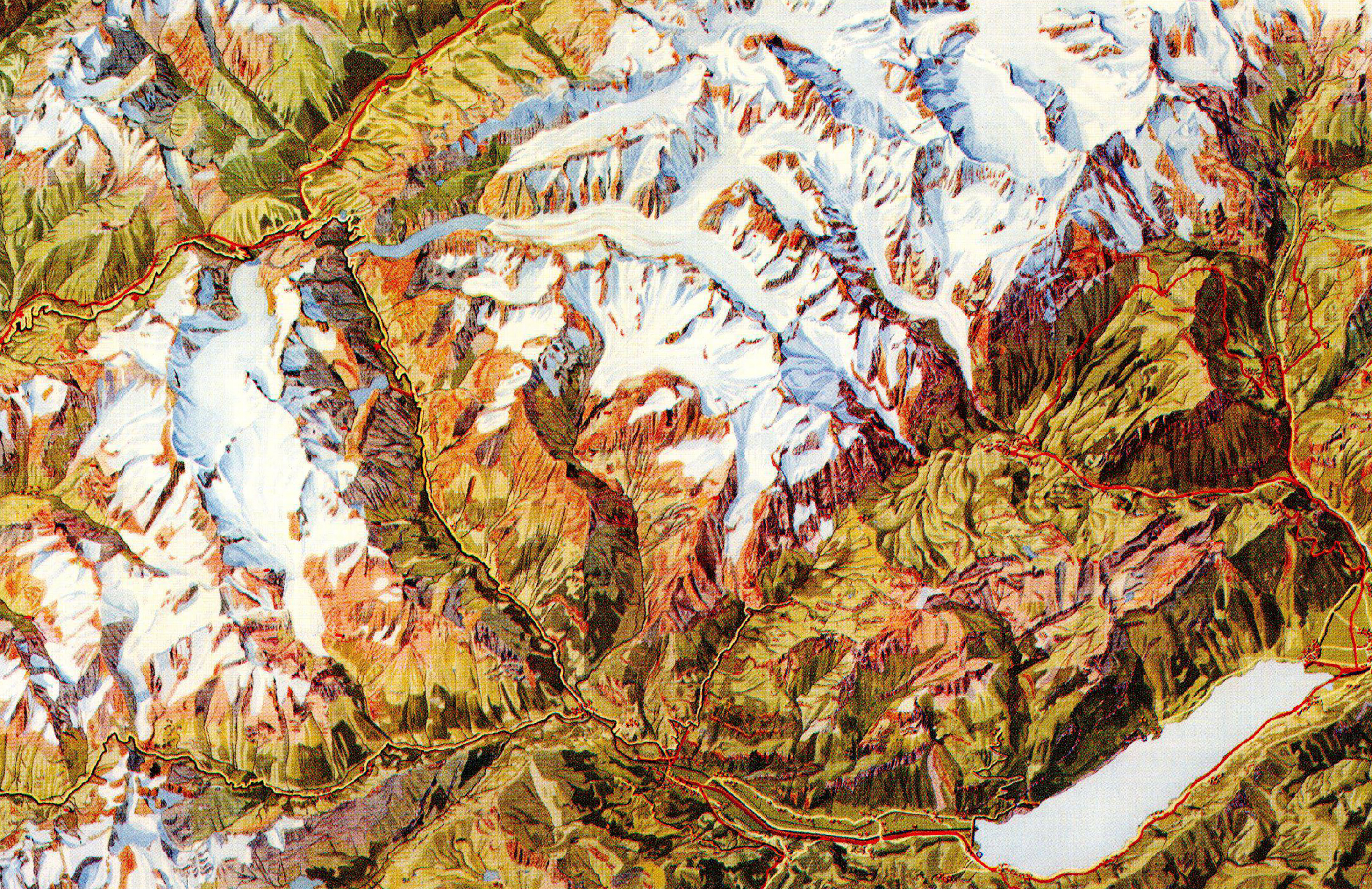
Otto Betschmann (1884–1959), a painter and graphic artist, produced a series of bird’s-eye views called Aerovue maps in the nineteen-twenties and thirties. His Aerovue maps used an oblique parallel projection that combined a normal orthogonal map projection with three-dimensional topographic features shown in a side view. Betschmann’s construction method, which the Conzett & Huber publishing house used to produce a map series at the scale of 1:50’000, was protected with patents. To further simplify map construction, the Coradi Company of Zürich developed a modified pantograph to project contour lines. The Aerovue maps are notable for their innovative projection, large printed size, unusually vivid and natural colors, and a southern orientation that allowed for natural illumination from the south.


Lieu: Switzerland
Text: Bernhard Jenny (Cartographica Helvetica, Heft 38, 2008)
Publié: Octobre 2019
Catégorie: Cartographie